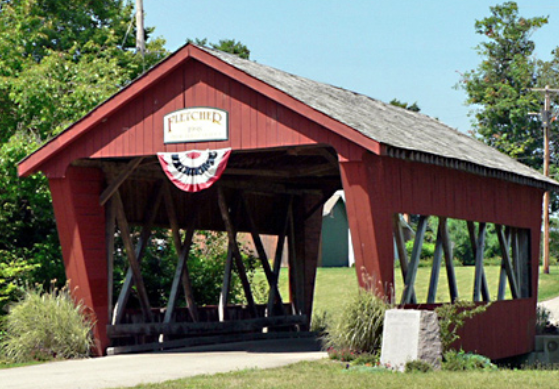
Fletcher was platted in 1830. The village was named after Samuel Fletcher, a local storekeeper. The post office that had been in operation at Fletcher since 1831 closed in 2010. According to the United States Census Bureau, the village has a total area of 0.31 square miles (0.80 km2), all land. Fletcher is drained by East Branch Lost Creek and West Branch Lost Creek. The village is crossed by U.S. Route 36 and State Route 589.